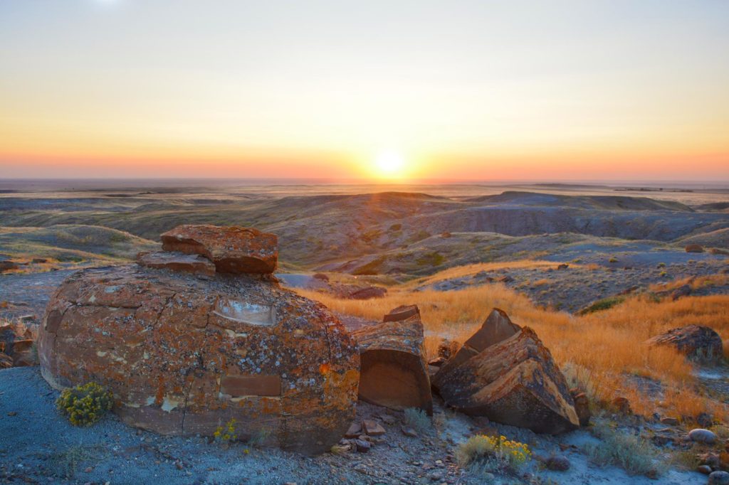
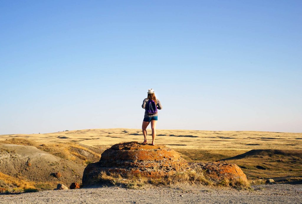
The rocks at Red Rock Coulee are weird and strange and very cool to explore.
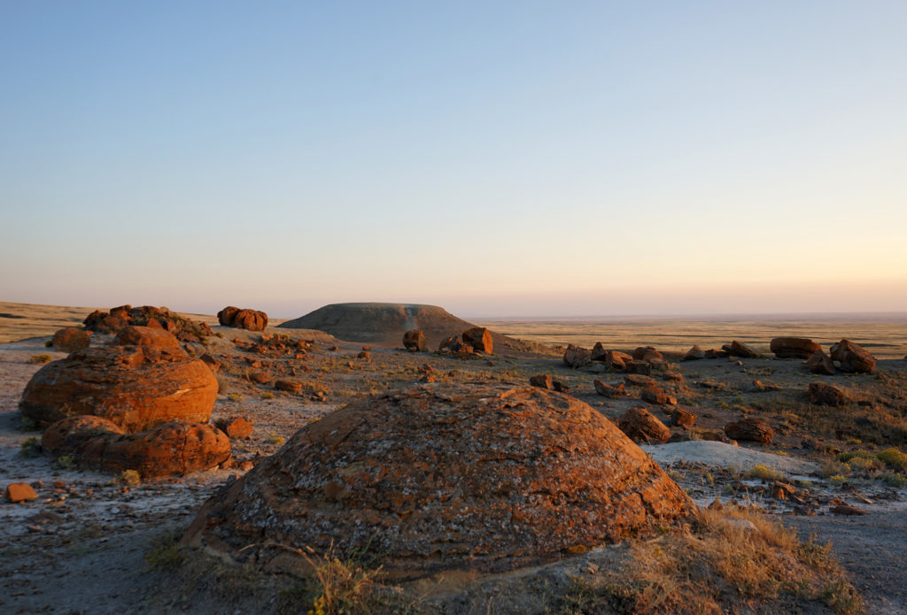
They’re not actually called rocks though, they’re known as concretions. And they’re scattered throughout the rolling hills as though a small child left their marbles out after a particularly intense game.
But these red and orange rocks aren’t marble sized – they’re giant sized. Some are up to 2.5 metres across.
I was excited to explore the area. I have a penchant for visiting unique and quirky destinations around the world (Atlas Obscura being one of my favourite sources to find them) and these particular rocks fit right in to my collection. Adding to the dramatic landscape was the fact that rattlesnakes can be found in the area. Admittedly, it was a bit of a rush to be out there on my own near dusk.
I took my time when I arrived, absorbing the view of the rippling hills and breathing in the air around me.
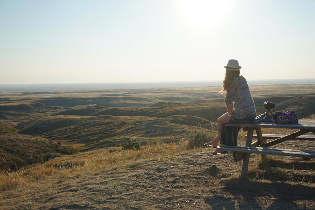
I unpacked an odd but tasty late afternoon snack of peach pie from the Etzikom Windmill Museum and beef jerky from Premium Sausage in Seven Persons and sat down at the lone picnic table to enjoy my meal.
The sun was slowly making its way toward the horizon, splashing its reddish-orange light across the rolling landscape and illuminating each of the round stones. The lighting was further softened by a haze from the wildfires burning throughout much of Western Canada.
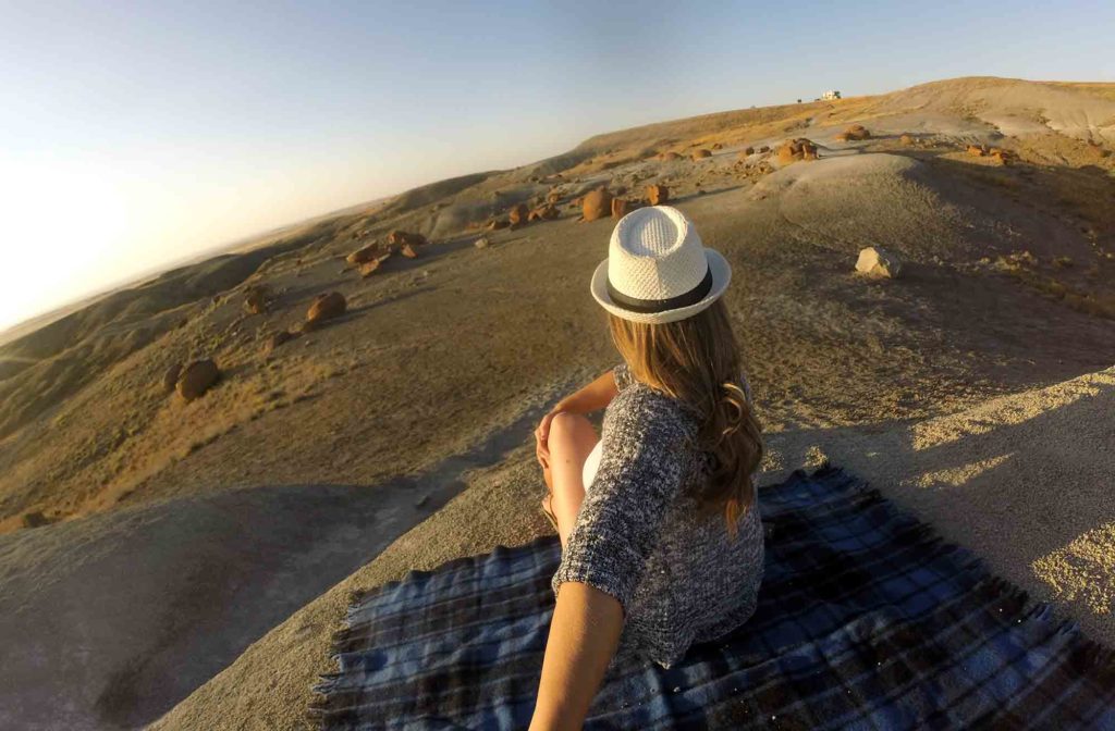
Grabbing my photo gear and a blanket, I headed down into the small valley, excited to climb on top of and around the stones.
The concretions formed millions of years ago by prehistoric seas. Sand, calcite and iron oxide hardened around small nuclei like bones or shells. From there, other deposits stuck to the formation and they grew larger, layer by layer.
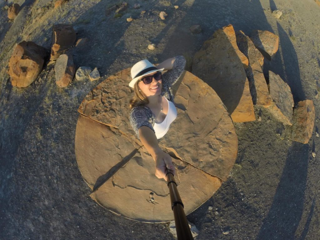
Because they’re made out of sandstone, they’re harder than the surrounding material in the coulee. When weathering exposes them, the spherical rocks seen today are left behind. Some have split in half, sliding off each other and landing in the shallow layer of soil below.
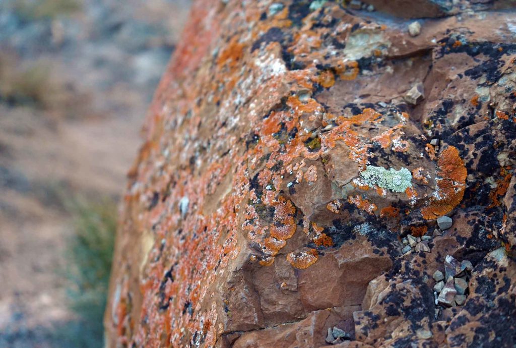
Looking closely, the rocks appear to have growth rings – like trees. A testament to how they formed in layers over the millennia.
A photographer’s playground, I wandered amongst the round giants, snapping photos and playing with the changing light until the sun had completely set. Reluctantly, I headed back to Medicine Hat, hopeful that I’ll be back soon.
How to get there:
From Medicine Hat, Red Rock Coulee is nearly 50 kilometres southwest of the city. Start your trip by taking Highway 3 out of Medicine Hat for 20 kilometres. Turn south onto Highway 887 on the outskirts of the town of Seven Persons. Continue for another 21.5 kilometres. The road will continue straight on gravel (the paved highway will curve away to the east). Take the gravel road. There should be a sign for Red Rock Coulee at this point. Continue on the gravel road for a few kilometres and you will come into the parking lot of Red Rock Coulee.

Be aware there are no services out here. There are no restrooms and only a single picnic table and a descriptive sign about the area. Please carry out any trash brought in with you.
This post was created in collaboration with the Canadian Badlands, Stay in Medicine Hat and Tourism Medicine Hat but as always, the thoughts and opinions in the piece are my own.








If you enjoyed Red Rock Coulee. Check out this massive collection of Concretions on the Athabasca River at the Grand Rapids in North Central Alberta on our facebook page. https://www.facebook.com/media/set/?set=a.10152498241756599&type=1&l=08141bb6f4 Then contact us if you would like to visit. : )
Your photos are so stunning girl. Never seen anything like this—its now on my bucket list!
Glad to hear Gabby – the location is so quirky and cool! It should be on Atlas Obscura!
So beautiful- your pictures are all incredible
Thanks for the kind words Jai 🙂